This is the main conclusion of a new ICM-CSIC study that tests the effectiveness of remote sensing for monitoring key oceanographic variables, including salinity.

As the effects of climate change continue to reshape the Arctic landscape, a new study led by the Institut de Ciències del Mar (ICM-CSIC) in Barcelona in collaboration with the Nansen Environmental and Remote Sensing Center (NERSC) in Norway has revealed that data collected by satellites help reduce the bias of melt estimates made from numerical models by up to 70%.
Specifically, the paper discusses salinity measurements taken by the 'SMOS' (Soil Moisture and Ocean Salinity) satellite, which has been sending data to the European Space Agency (ESA) antennas since 2009 to calculate ocean salinity and land moisture, key to better understand ocean circulation and the water cycle, deepening hurricane or fire prevention, and improving snowmelt estimates.
"By integrating satellite-derived surface salinity measurements with data from the TOPAZ Arctic numerical model, we were able to significantly improve our estimate of freshwater content and better monitor changes in the Beaufort Sea, a critical area within the Arctic affected by rapid environmental changes," explains the ICM-CSIC researcher Marta Umbert, leading author of the study.
This highlights the ability of satellite data to contribute to the monitoring of freshwater dynamics in cold regions such as the Arctic, with significant implications for the understanding of global climate systems.
Melting ice, an expanding phenomenon
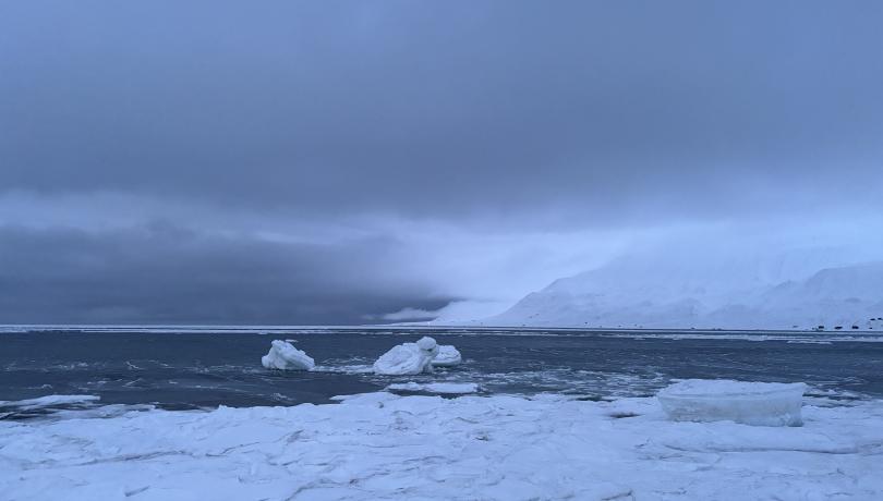
Arctic hydrography has undergone major transformations over the past two decades, with a marked decrease in sea ice extent and an increase in liquid freshwater content due mainly to melting glaciers and sea ice.
The new study, recently published in the journal Ocean Science, has integrated surface salinity measurements from the SMOS satellite to assess the Beaufort Sea freshwater content between the years 2011 and 2019 and compare it with estimates from in situ data. The results show an underestimation of freshwater content considering only the numerical model data, with the bias being reduced by 70% by incorporating the satellite measurements.
"Our research demonstrates the critical role that remote sensing of salinity plays in improving our ability to monitor Arctic freshwater content and understand the key processes that influence global climate systems," states Eva de Andrés of the Polytechnic University of Madrid (UPM).
However, the implications of the study extend beyond the Arctic, with possible repercussions on the global circulation system that regulates the Earth's climate. Improved understanding of salinity variations and their relationship with freshwater content will allow better prediction and mitigation of the effects of climate change at both regional and global scales," concludes the scientific team.